Staines


MAPS


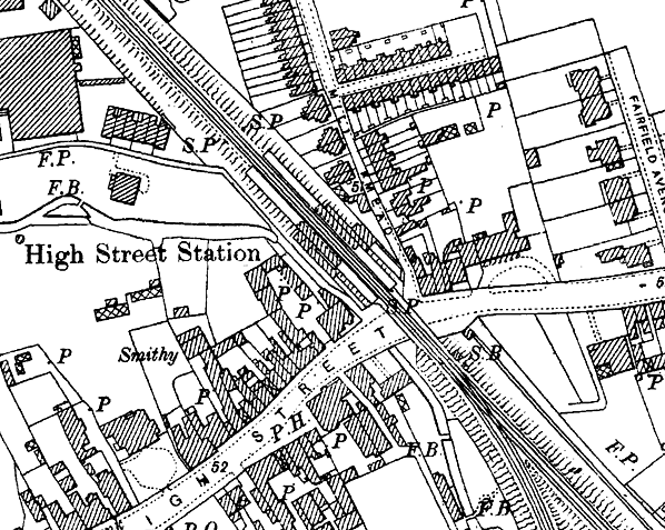
High Street Station 1899
This was loated above the Iron Bridge


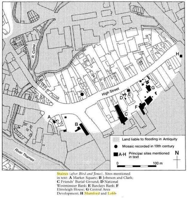
Dig Map
See Dig page for more details


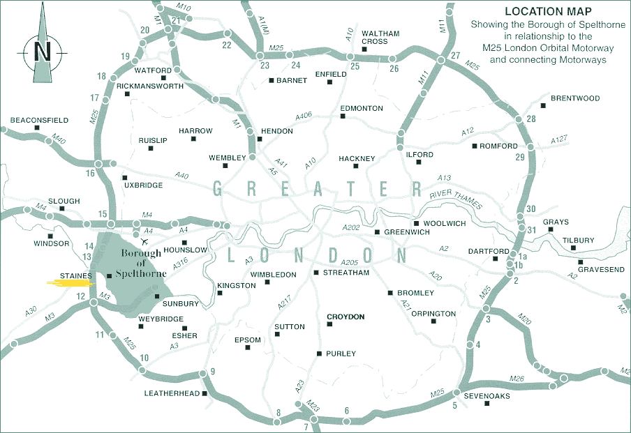
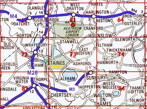
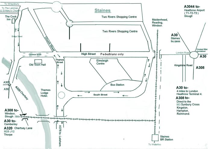
The above maps are of Staines and the surrounding areas


Companies
Maps
Links
Photos plus

HOME


All information on this site was researched using the following sources:
Borough of Spelthorne Council, Spelthorne Museum, 'The Spelthorne Book 11' by Friends of Spelthorne Museum, 'Up Pontes' by Christine Lake, 'Staines an Illustrated Record' by M.M. Smithers, 'Snapshots of Staines' by J.L. & D.M. Barker, 'Middlesex within Living Memory' by the Middlesex Federation of Women's Institutes, 'Staines A History and Celebration' by Russell Thompson, 'The Commons of Staines, The Facts' by the Assn for the Preservation of Staines Moor, 'Staines in Old Picture Postcards' by Barry Dix, 'Staines A History' by Pamela Maryfield, 'Doomsday Book - (Midelsexe) Middlesex' translated by John Morris and Sara Wood. The photographs of Maureen Rendell (Thanks to her son Malc Rendell. Info from Jenny Scripps. Various postcards I got via EBay, Google, Memories and experiences of Gloria Hazell.


E:MAIL: staines@dragonflydezignz.50megs.com

Site created by Dragonfly Dezignz 2002. Updated 2021.
Copyright Dragonfly Dezignz
(1998 - 2021)