 |
Staines
|
|
![]()
|
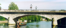
Staines is an urban area in the Borough (Hundreds) of Spelthorne (Spelethorne). The main towns in Spelthorne are Staines (Stanes), Ashford (Exeford), Stanwell (Stanwelle), Shepperton (Scepertone), Sunbury (Sunbarie). Staines is the administrative centre of the Borough and has the largest shopping area. Spelthorne is a district of London, that has a population of approximately 90,000, and covers 21 square miles. (words in brackets are from the Doomsday Book. c.1086.) |
|
|
|
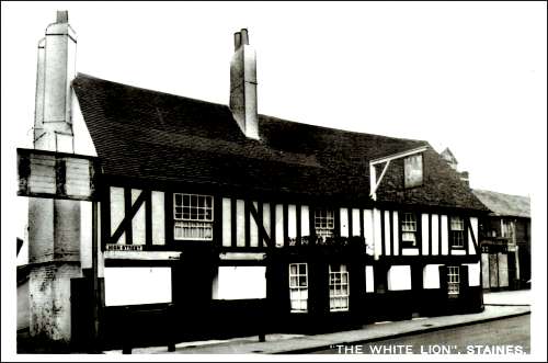
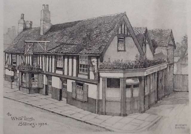
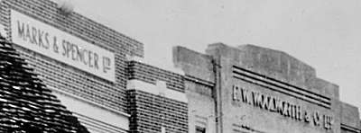
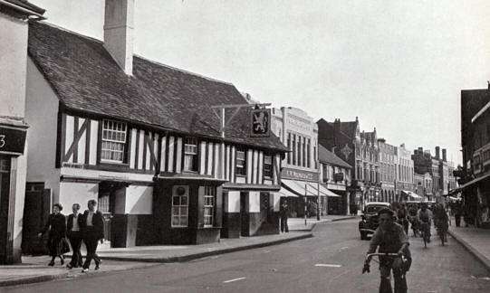
The White
Lion was said to be in existence at least since Elizabethan times.
It was on a part of the road that was very narrow, and so from one
end of the High Street it was always visible. Even though it had been
given 'listed building' status in 1953, disgracefully, it was
demolished to make way for the widening of the road (and eventually
the one way system) in 1956. In this photo the buildings to the right
were still old and ramshakled., so pre the bigger buildings of Woolworths
days.
The White
Lion was not only a Public House and Inn, it had it's own cells and
Court room for the Petty Sessions. It also
had a very large public meeting room that was used for social occasions.
One was in 1906 when some shop workers in the town, (who were called
the Staines Early Closing A.C.) Staines always closed for half
day on a Thursay afternoon, (Chertsey and Ashford half day closing
was a Wednesday if I remember correctly!) dressed up in, what
we today would call 'Halloween costumes' but they called 'Komic' dress,
and then had a football match on the Lino Sports Club ground, to raise
money for the 'Nurses Fund'. They raised £16 on this particular
day! Afterwards they went to a 'capital tea and smoking concert' at
the White Lion.
|
||||||||||||||||
|
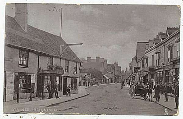
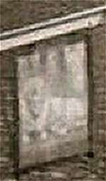
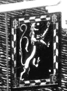
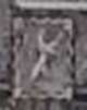
The White Lion
signs through the years. If you
look at the older photograph of the Pub, you will see that there is
no sign hanging outside. But through the years there are different
designs. In the
30's it is a Rampart Lion, with two tails, meaning in Heraldry, a
supernatural animal. I found this one interesting as it is facing
right not as it is supposed to be facing left! Again in Heraldry animals
are supposed to face left, so it is unusual. Another
one in the 30's from a drawing. Again rampant facing right. The one
in the 50's is again a Rampant Lion. This one is facing to the left
as it is supposed to do.
|
![]()
|
|
|
|
|

|
All information
on this site was researched using the following sources: |
|
|
Site
created by Dragonfly
Dezignz
2002. Updated 2021.
Copyright Dragonfly Dezignz
(1998 - 2021)